Insights

Technical insights.
Page 3

UAV Survey QA/QC Methodologies: Measured Accuracy, Not Advertised article image
Geospatial

UAV Survey QA/QC Methodologies: Measured Accuracy, Not Advertised

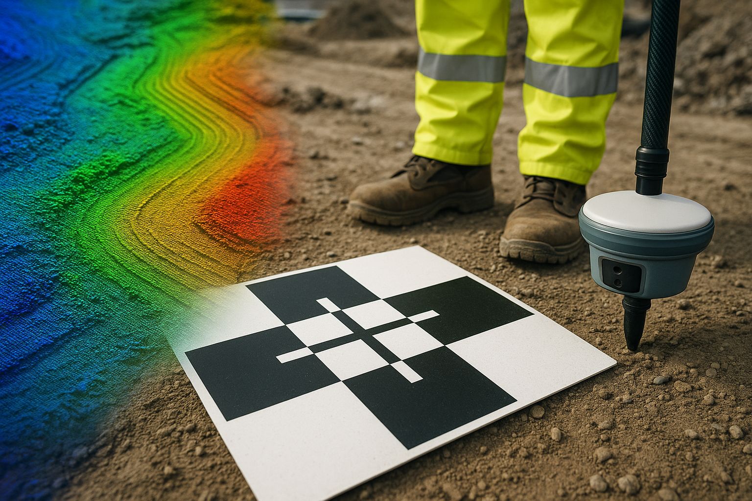
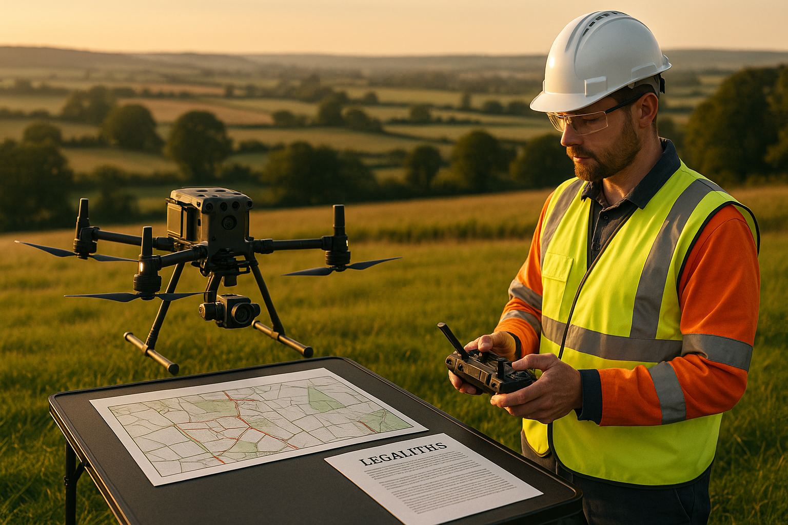
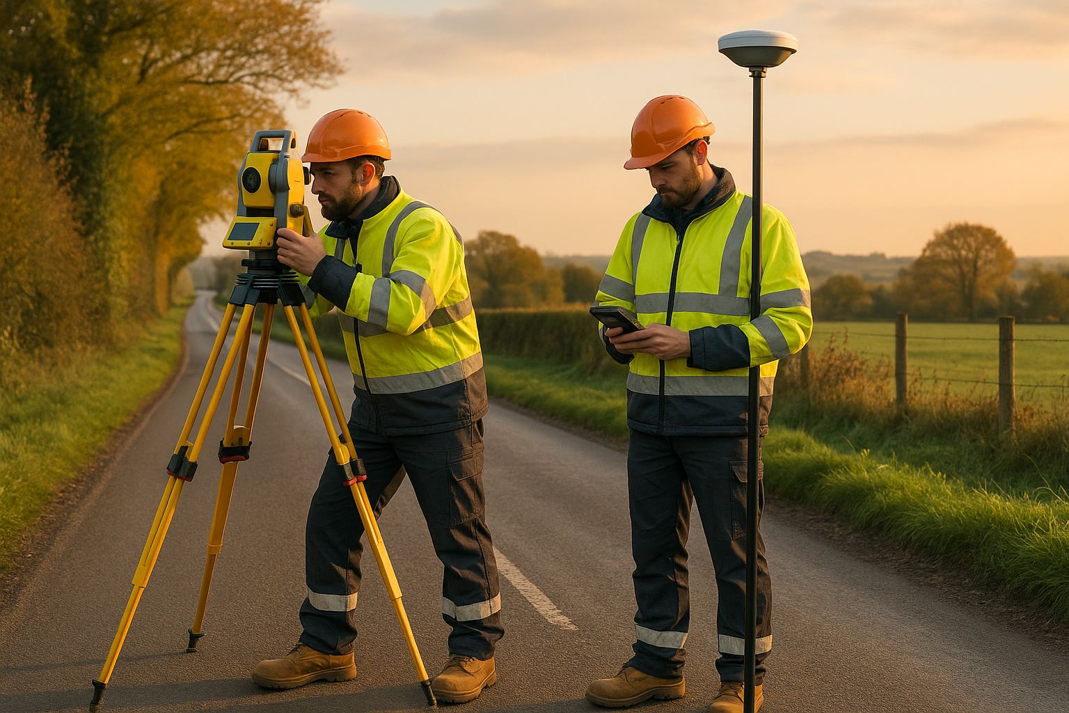
Any UAV survey can quote an accuracy figure. The question that separates a survey you can build from one you can't is whether that figure was measured against independent check points or simply asserted. This guide sets out the QA/QC methodology that produces a verified, RICS-referenced accuracy statement.

Read article →
Drone Mining & Quarry Survey Guide article image
Geospatial

Drone Mining & Quarry Survey Guide

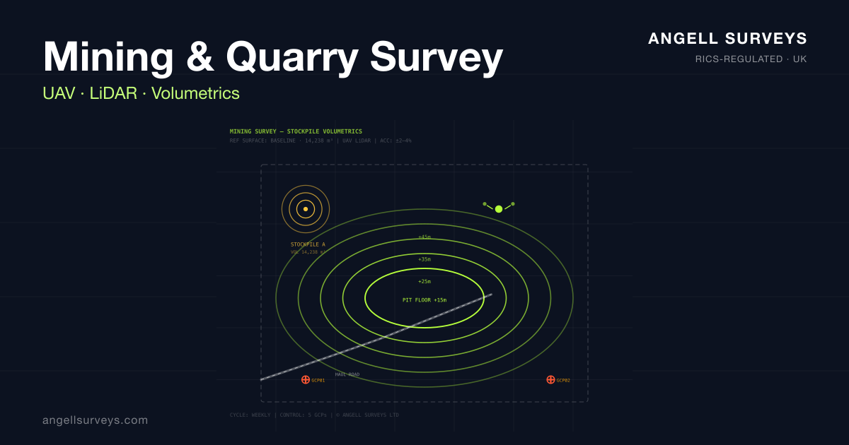
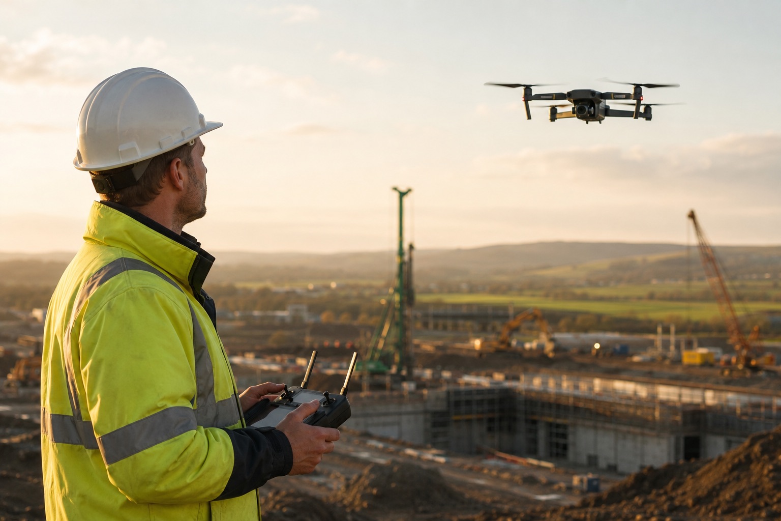
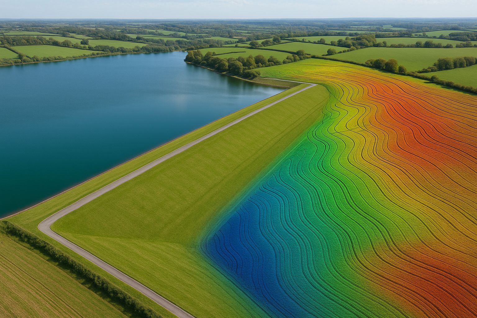
Drone surveys have become the default capture method for UK quarries and surface mines — faster, safer, and more accurate than traditional GNSS rovers for volumetric monitoring. This guide explains the volumetric accuracy you can expect, the regulatory context, and the typical capture cadence.

Read article →
Drone Pipeline Inspection vs CCTV: Which Method, When, and Why article image
Aerial Surveying

Drone Pipeline Inspection vs CCTV: Which Method, When, and Why

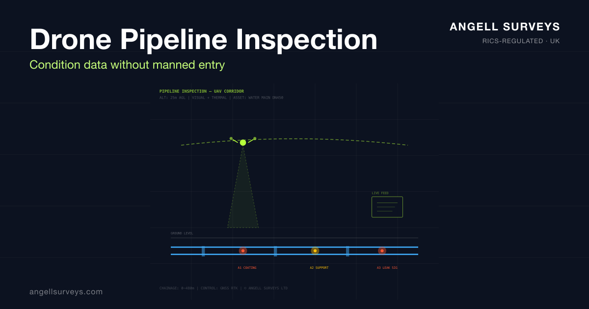
Traditional CCTV pipeline inspection has been the industry standard for 40 years, but drone-based inspection — both external aerial and internal collision-tolerant UAVs — is changing the cost and safety equation for many asset owners. This guide compares the two methods honestly.

Read article →