Technical Guides
Terrain-Following for Drone LiDAR Surveys: What UgCS 6.3 Changes, and What It Does Not
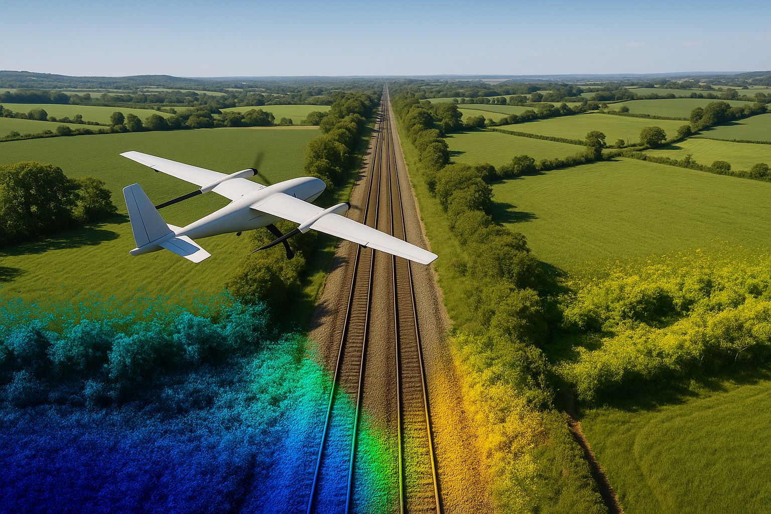
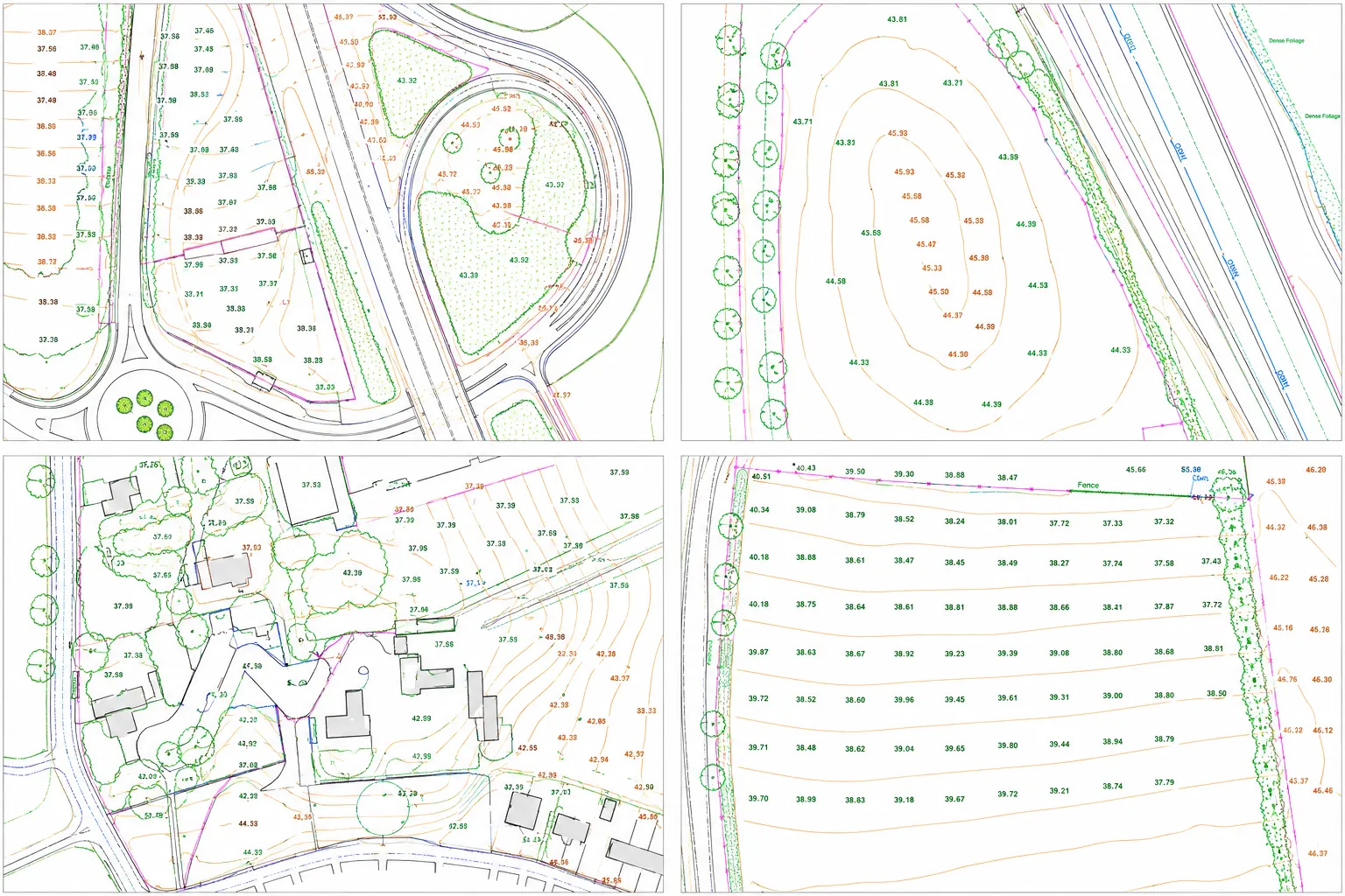
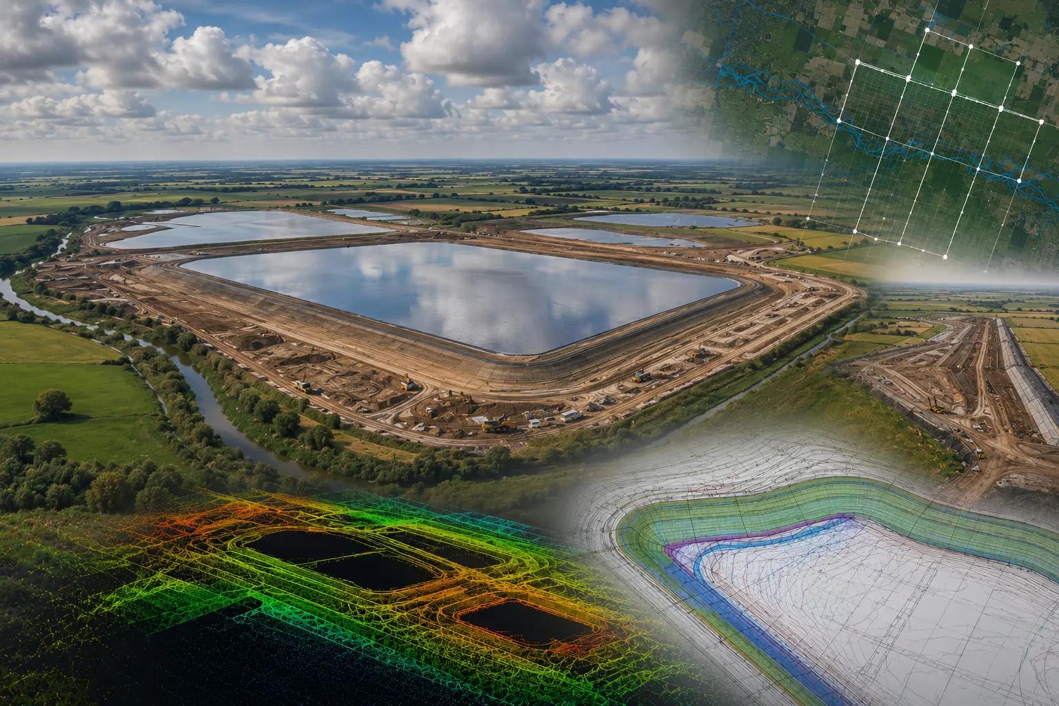
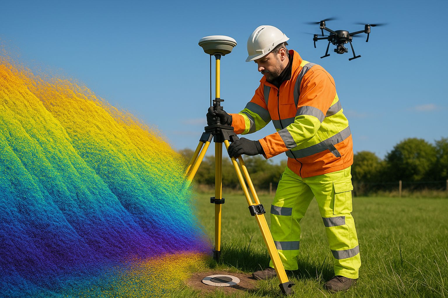
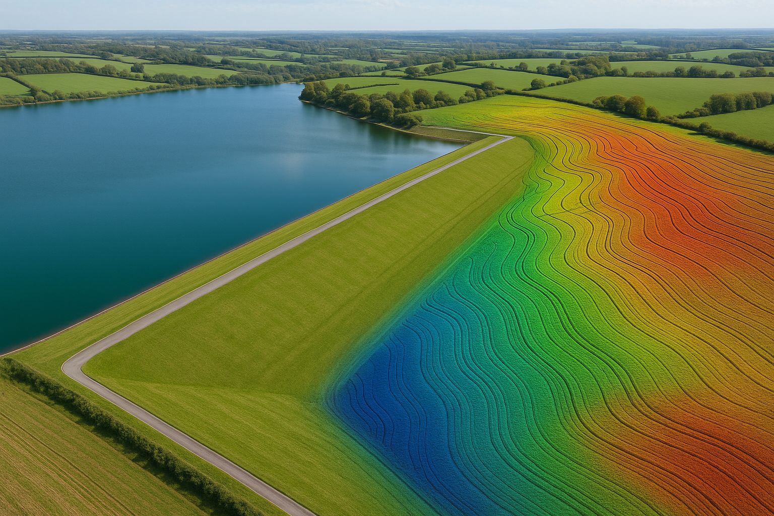
A surveyor's view of terrain-following flight control after the UgCS 6.3 release: why holding a constant height above ground on sloping sites decides whether a drone LiDAR point cloud meets the RICS accuracy band specified, what it does for point density and flight-line count, and the three things it leaves exactly where they were: vegetation penetration, ground control and georeferencing.