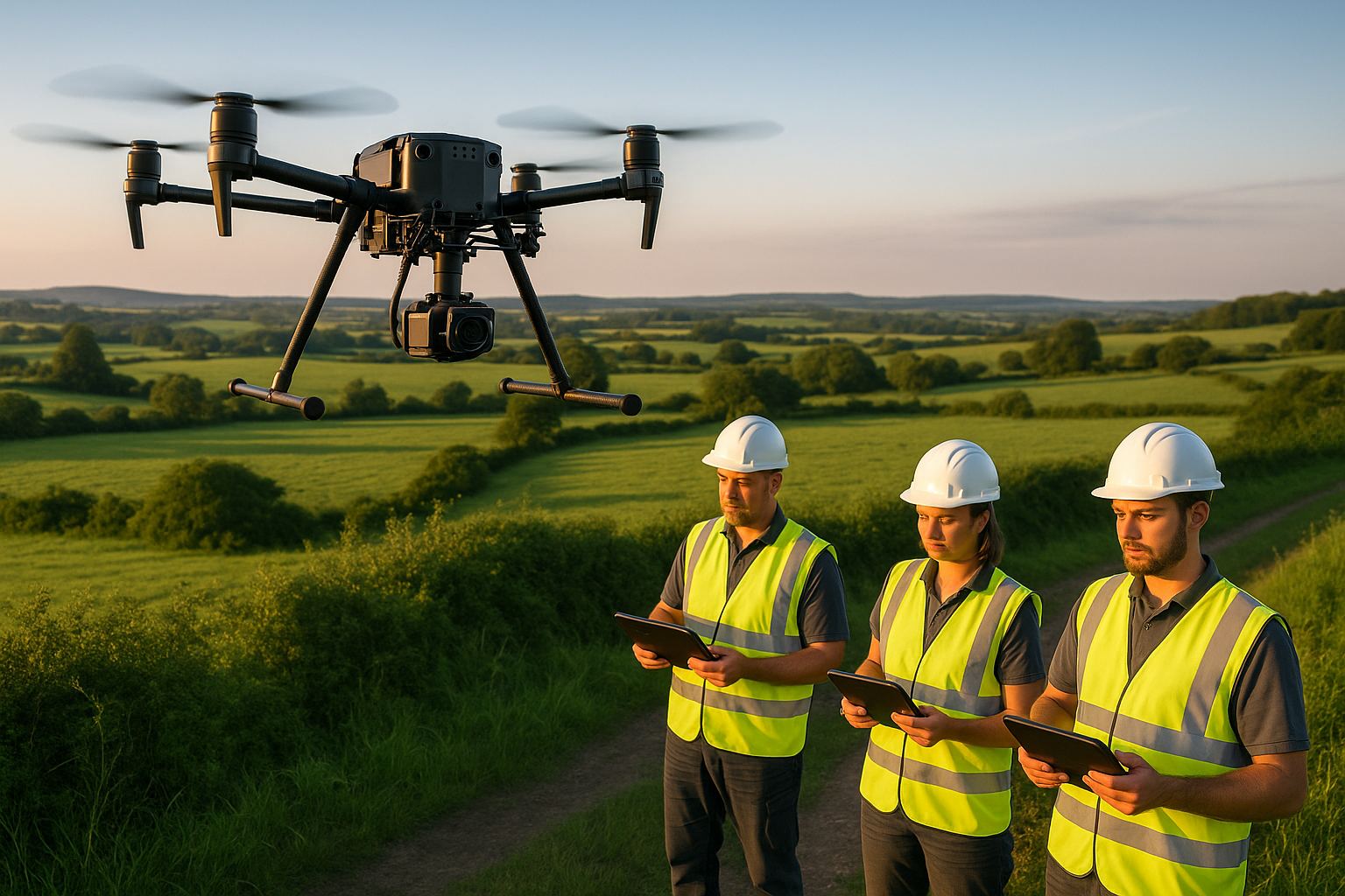
Terrain-following keeps a drone LiDAR sensor at a constant height above the ground rather than a constant height above the take-off point. On flat ground the two are the same. On upland, earthworks and corridor ground they are not, and the difference decides whether the delivered point cloud carries a consistent density across the whole site or thins out on every rising slope. UgCS 6.3, released at the end of October 2026, adds terrain-following control aimed specifically at drone LiDAR survey work. The feature itself is not new to the industry; what the release does is make a planning principle that surveyors already apply more visible to the people who commission the survey. This piece explains why the principle matters to a client, and what it leaves unchanged.
Angell Surveys Ltd flies the DJI Matrice 400 with the Zenmuse L3 and plans its missions in the fleet’s own flight-planning software. We do not operate UgCS, and nothing here is a product recommendation. The surveyor’s view is the same whichever software draws the flight lines.
Why does height above ground matter for a LiDAR point cloud?
A LiDAR sensor’s point density on the ground is set by three things: the pulse rate, the aircraft’s ground speed and its height above the surface it is scanning. The first two are fixed for a flight. The third changes with every metre the ground rises or falls beneath the aircraft if the flight is planned at a constant altitude.
Fly a valley side at a fixed altitude and the sensor is close to the ground at the top of the slope and far from it at the bottom. Point density rises on the high ground and falls in the valley floor, the swath narrows where the sensor is close and widens where it is far, and the laser’s effective range may be exceeded altogether on deep ground. The cloud is still a cloud, but its quality varies with the terrain rather than with the specification.
What does terrain-following change for the client?
Terrain-following plans the flight lines against a digital elevation model so the aircraft climbs and descends with the ground, holding the design height above the surface throughout. For the client this produces three things that a constant-altitude flight cannot guarantee on sloping ground:
- Consistent point density across the site. The density quoted in the survey specification holds on the ridge and in the valley alike, so the ground classification and the resulting terrain model are uniform.
- A range that is never exceeded. The sensor is kept within its working range on the deepest ground, so there are no thinned or missing strips to reflow later.
- Fewer flight lines for the same coverage. With a constant swath width the lines can be spaced evenly; without it, the lines must be spaced for the narrowest swath on the highest ground, which multiplies flight time on everything else.
The consequence for accuracy is direct. The RICS Measured Surveys specification, 3rd edition (RICS, 2014) defines accuracy bands that a survey is delivered against, and a terrain model derived from a cloud whose density halves in the valleys cannot be checked, or evidenced in a quality statement, to one band across the whole site. Holding the design height is one of the planning decisions that makes the band achievable everywhere the client is paying for it.
Where has this mattered on a real site?
Our Calair Burn UAV LiDAR survey in the Scottish uplands is the plain example: a river restoration scheme on ground that rises steeply from the burn, where the terrain model had to carry the same confidence on the valley floor as on the slopes above it. Earthworks platforms, cuttings and embankments on highway and rail corridors present the same problem in a smaller space, and a topographic survey that is to serve as a design base is only as good as its weakest stretch.
What terrain-following does not fix
Three things sit outside the flight plan entirely, and no planning software release changes them.
- Vegetation penetration. Terrain-following keeps the sensor at the right height above the canopy, not the ground beneath it. Whether a bare-earth model is possible under woodland, hedgerow or scrub depends on the canopy, the season and the number of returns the sensor records, as explained in our guide to surveying through vegetation.
- Ground control. The flight plan does not establish the survey control the cloud is referenced to. Ground control points and independent check points, observed by RTK GNSS or total station, remain the only evidence that the delivered cloud sits where the specification says it does.
- Georeferencing and datum. The transformation to OSGB36 and Ordnance Datum Newlyn, and the quality statement that reports residuals against the specified band, are produced in processing and checked by the surveyor. Software that follows the terrain well has no bearing on either.
A planning feature is a means to an even dataset. The accuracy claim still rests on control, check points and a documented processing chain, and that is what a client should ask to see in the deliverable pack.
Frequently asked questions
Does terrain-following improve the accuracy of a drone LiDAR survey?
Not on its own. It keeps point density and sensor range consistent across sloping ground, which makes a single accuracy band achievable everywhere on the site. The accuracy itself is proven by ground control, independent check points and the residuals reported against the RICS Measured Surveys specification band.
Is terrain-following needed on flat sites?
No. On flat ground a constant altitude and a constant height above ground are the same thing. The value is on upland, earthworks, quarry and corridor sites where the ground rises and falls by more than a few metres across the survey area.
Does Angell Surveys use UgCS?
No. The fleet is planned in its own mission software, and the terrain-following principle described here is applied regardless of which product generates the flight lines. The article is a surveyor’s view of the planning principle, not a product review.